Estimated number of homes
817 (377 houses and 440 apartments)
Current status
Advancing the tender process for the delivery of the first phase
Next step
Commence on site
Project Description
The Castlelands, Balbriggan development is a key strategic project located in Dublin and is part of the LDA’s wider mandate to develop a range of housing options, including affordable sale, cost rental and social housing.
The Castlelands site is c. 25 hectares and is located on the southern edge of Balbriggan town in north county Dublin. It is a greenfield site with elevated views over the coast to the east. The Dublin-Belfast railway line and R127 Skerries Rd form the eastern boundary of the site, whilst the site is bounded by existing residential developments to the north and west and greenbelt to the south.
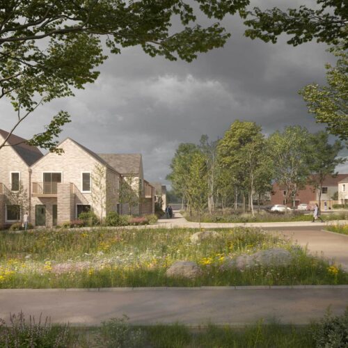
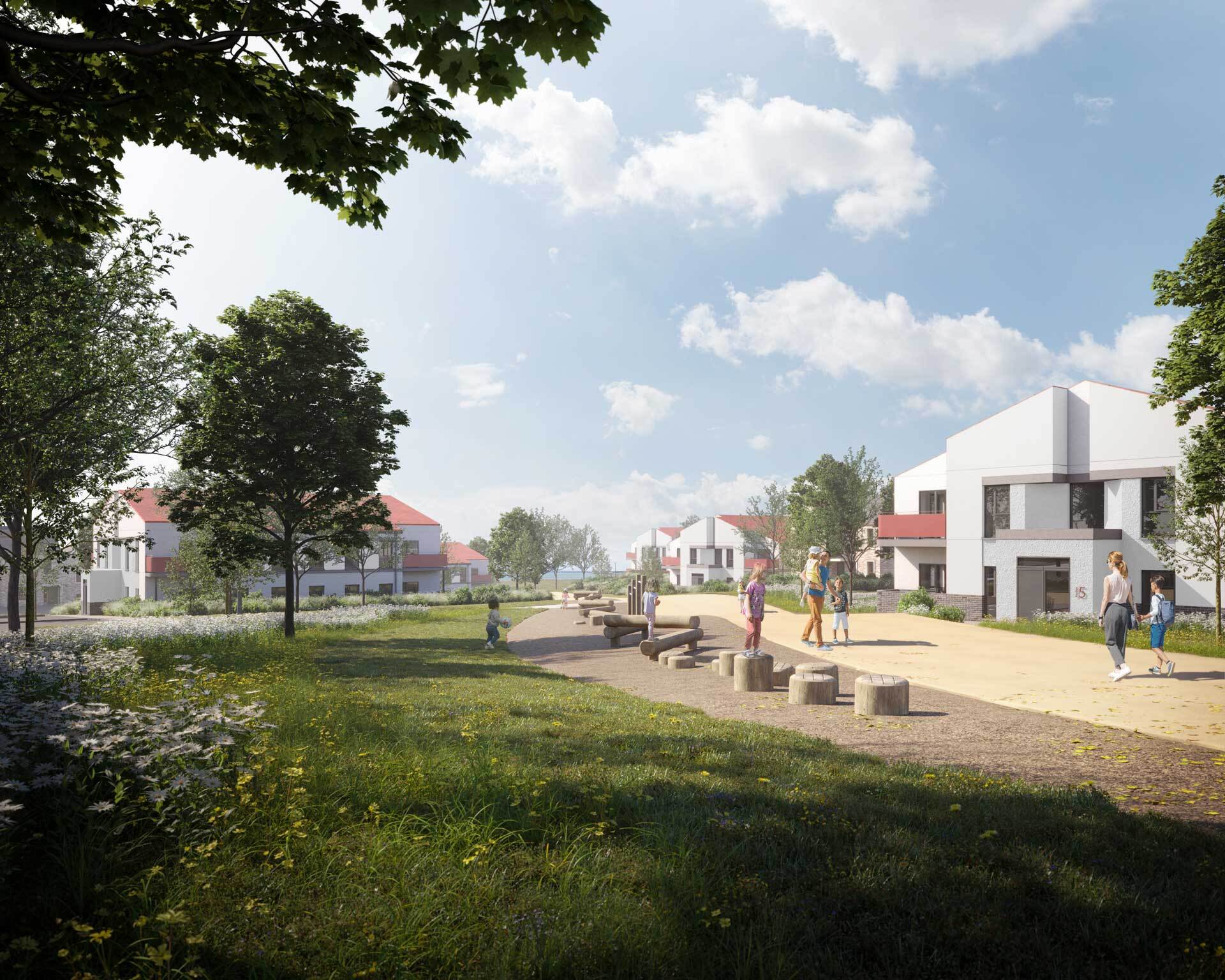
Planning has been granted for the development which will provide 817 new homes comprising a range residential unit types that cater for people across all lifecycle stages. The development also includes a childcare facility and outdoor play area, local neighbourhood retail centre & café and facilities management workspace, as well a new Park with recreational amenities for all age groups, including playgrounds, multi-use games areas, basketball courts, outdoor gym, and skateboard plaza.
The project will also include the early completion of the Castlelands distributor road and connection to R127 Skerries Rd, including an overbridge at the Dublin–Belfast railway line.
The planning application details can be found here: https://www.castlelandsshd.com/
Gallery


