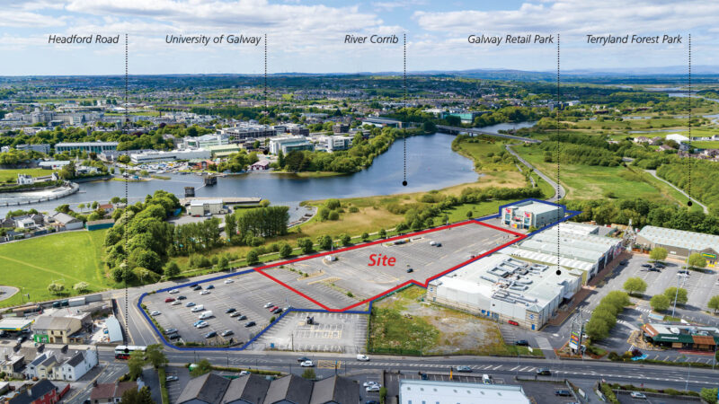
The LDA, in partnership with Galway City Council (GCC), plan to deliver a residential led mixed use development through Corrib Causeway, which comprises phase one of the redevelopment of the Dyke Road Car Park site. The site is located to the northeast of the city centre, within walking distance from Eyre Square and the Headford Road area.
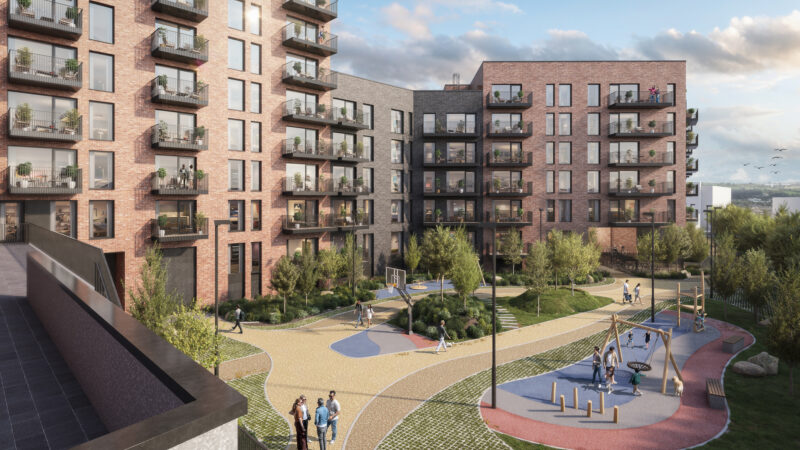
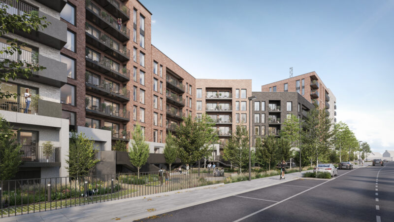
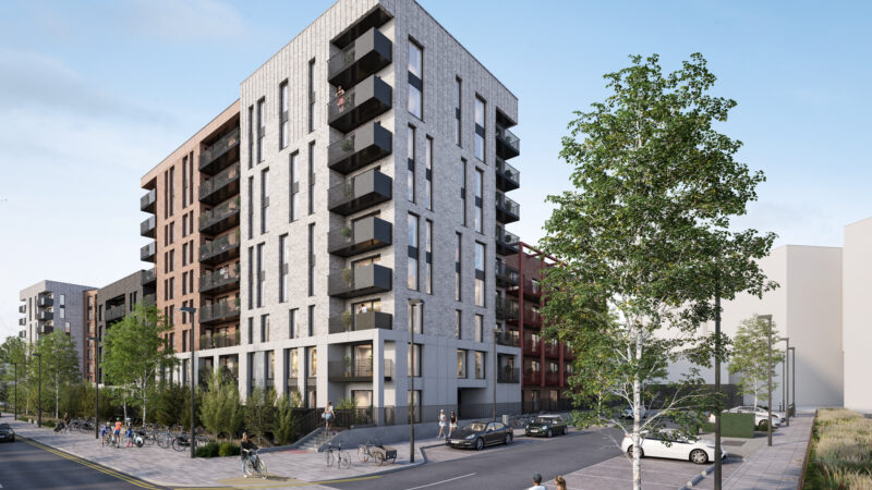
The phase one development will deliver 219 homes, a creche, a boardwalk, open space and pedestrian pathways and connections. Cost rental and social homes will be available across 109 one-bed, 100 two-bed and 10 three-bed apartments, with the development ranging in height from 5 to 9 storeys.
The plan also includes a crèche, car and bicycle parking, as well as communal open spaces, playgrounds and new landscaping along Dyke Road.
A planning application for this development was approved by An Coimisiún Pleanála in October 2025.
This site marks an important milestone for the Agency's delivery in Galway, with the LDA set to deliver the first of 345 homes at Crown Square by the end of 2026 and a planning application has been submitted for 356 homes at Amharc Atalia, Galway Port.
The Agency is also working in partnership with Galway City Council on a longer-term plan to transform land surrounding Sandy Road into a new urban quarter with the potential for 750 affordable and social homes.
Find out more through about Corrib Causeway through its website: https://corribcauseway.ie/
Planning application details webiste: www.corribcausewaypart10.ie.
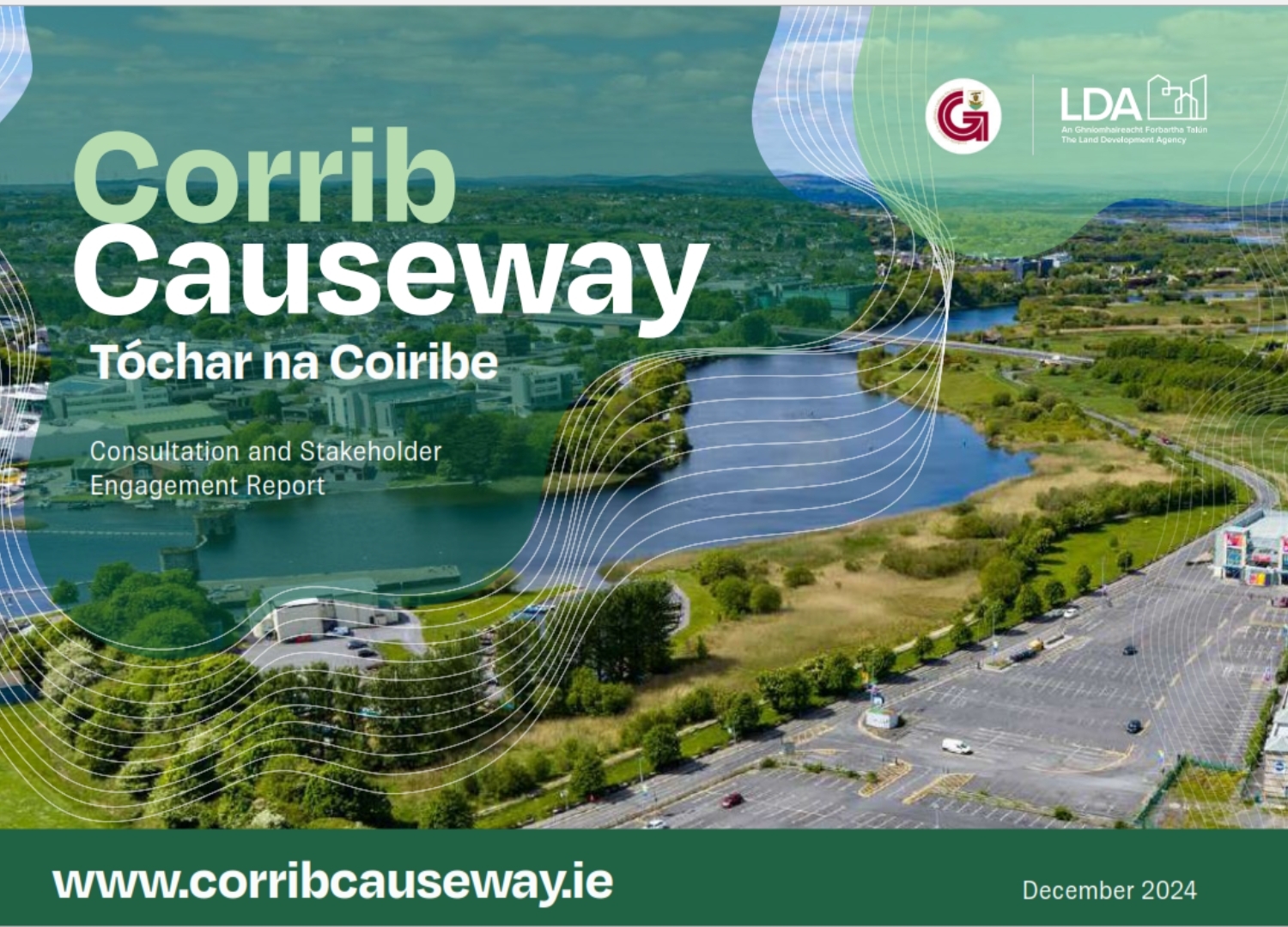
Stakeholder Engagement: Corrib Causeway Consultation and Stakeholder Engagement Report
The LDA has a dedicated Community Liaison Officer (CLO) which can be contacted through the email address below.
Contact Us:
Email: [email protected]