Estimated number of homes
345
Current status
Phase 1: Construction stage
Next step
Phase 1: Construction complete
Phase 2: Tender stage
Priory Fields
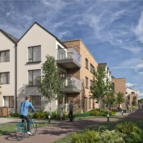
Priory Fields will deliver 345 affordable homes in north County Dublin. The new homes will be located within a 10-minute walk from Skerries train station and a short distance to Skerries town centre.
176 homes will be delivered as part of the first phase. The one-, two-, and three-bed apartments, ranging in height from two to four storeys, will be delivered first, with the three-bed houses delivered as part of the development’s second phase.
The development includes a crèche, community space, pedestrian and cycle routes and parking.
Lydon has been appointed as the LDA’s development partner for the first phase of this development, which is currently underway.
Find out more
For all construction and site related issues: [email protected]
The LDA has a dedicated Community Liaison Office which can be contacted at [email protected]
Documents
Planning details for Priory Fields can be found here.
Gallery


