- Estimated number of homes
- 1,000 homes
- Current Status
- Due-Diligence Analysis
- Next Step
- Masterplan
Inchicore | Dublin
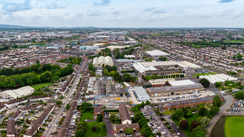
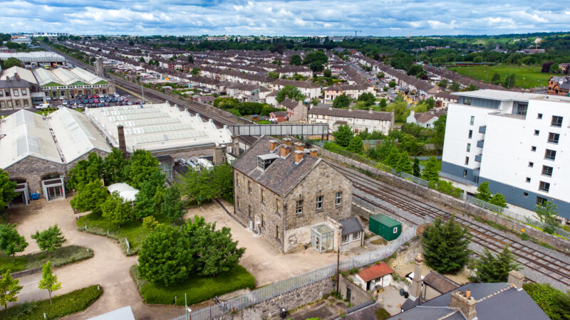
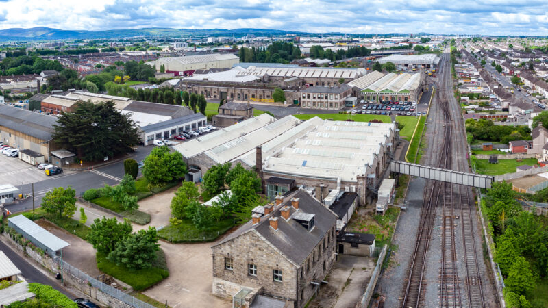
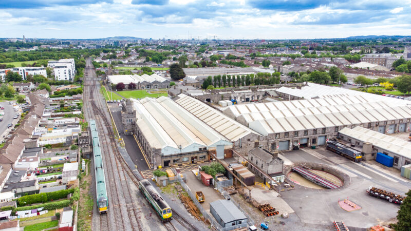
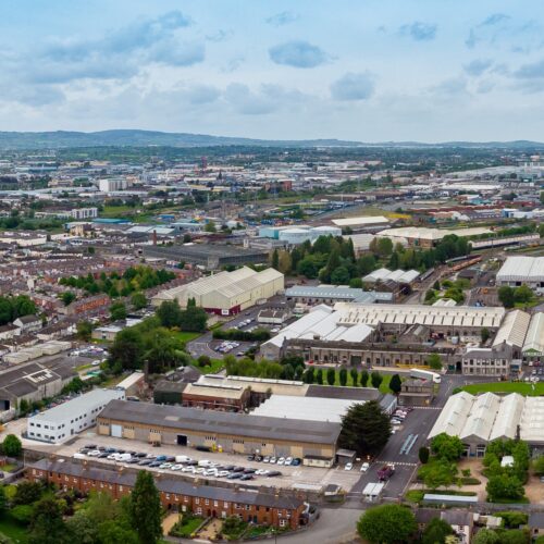
The Córas Iompair Éireann (CIÉ), Electricity Supply Board (ESB) and Office of Public Works (OPW) lands at Inchicore are listed in the Government’s ‘Housing for All’ Plan (2021) for potential transfer to the LDA for housing led regeneration subject to due diligence.
The lands form part of the City Edge Project, a major urban regeneration initiative in Dublin covering 700 hectares across the Naas Road, Ballymount, and Park West areas. In June 2026, Dublin City Council approved Variation No. 10 (Kylemore Masterplan) of its City Development Plan which identifies the majority of these public lands as a ‘Strategic Development and Regeneration Area’ (SDRA). The lands are also addressed under the Kylemore Masterplan which now forms part of the City Development Plan.
The LDA is actively engaging with the relevant landowners to better understand operational requirements, consolidation and relocation opportunities and the phased release of some lands for housing-led regeneration.
Subject to the outcomes of ongoing due diligence analysis and stakeholder engagement, the next stage will involve the preparation of a masterplan in accordance with the terms of Variation No. 10 of the Dublin City Development Plan.
Get In Touch
For all queries, please email [email protected]